


When emergencies strike, timely and clear information is paramount. Google is rolling out a significant enhancement to its Wireless Emergency Alerts (WEA) system on Android phones, introducing a new map view directly within alert notifications. This update aims to provide users with a clearer, more actionable understanding of threats in their immediate vicinity.
Previously, WEA messages, which notify the public of dangers like severe weather or missing children, were primarily text-based. While crucial, these text-only alerts could sometimes leave users uncertain about the exact affected area relative to their own location. The new map view addresses this challenge head-on.
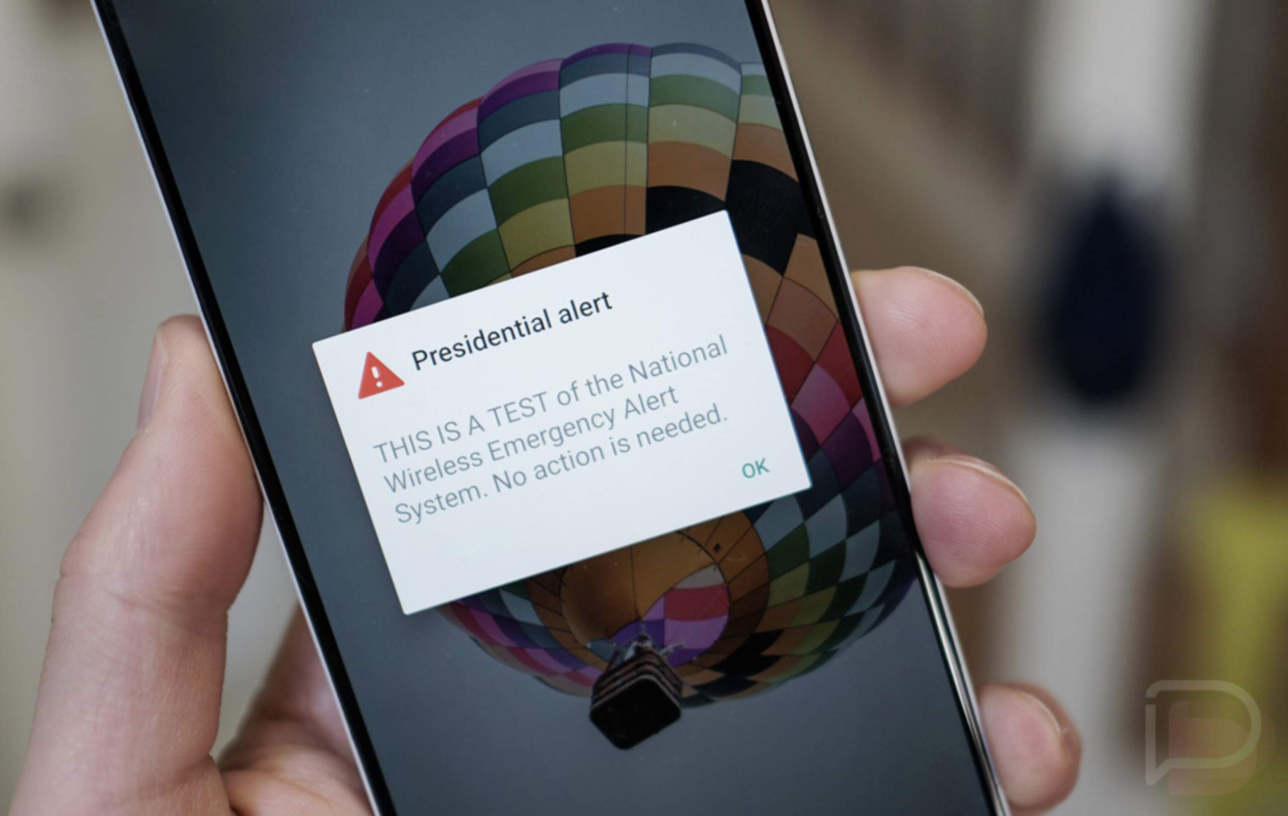
What are Wireless Emergency Alerts (WEA)?
Wireless Emergency Alerts (WEA) are short, critical messages sent by authorized government agencies to mobile phones in a targeted area. These alerts are a vital component of the public safety system, designed to inform individuals about imminent threats to life and property.
Administered through a partnership between FEMA, the FCC, and wireless providers, WEA messages cover a range of emergencies. They include alerts for dangerous weather conditions, AMBER Alerts for missing children, and other public safety threats. Unlike standard text messages, WEAs use a unique broadcast technology to ensure rapid delivery, even when cellular networks are congested.
The New Map View Feature
Google’s latest update integrates a visual map directly into Wireless Emergency Alerts. This means that when you receive an alert, you’ll see a map highlighting the specific geographic area impacted by the emergency. Crucially, the map will also show your current location in relation to the danger zone.
How It Works
- The map view displays the boundaries of the affected area clearly.
- Your device’s location is shown on the map, allowing you to quickly determine if you are within or near the threat.
- This feature is rolling out via a Google Play Services update (v26.12 or later), meaning it’s a server-side change and doesn’t require a separate app download.
Why This Matters
The addition of a map view to Wireless Emergency Alerts represents a significant step forward in public safety communication. Historically, the text-only nature of WEAs could lead to confusion, especially in areas where alert boundaries were not immediately clear.
Now, with a visual representation, users can make faster, more informed decisions about their safety. For instance, if a severe weather alert is issued for a county, the map will show precisely which parts of the county are affected, helping residents understand if they need to evacuate or shelter in place. This enhanced clarity can save critical time during rapidly evolving emergencies. For more detailed information on emergency preparedness, visit Ready.gov.
Conclusion
Google’s integration of a map view into Wireless Emergency Alerts makes a vital emergency communication tool even more effective for Android users. By providing a clear visual context for threats, this update empowers individuals to quickly assess their risk and take appropriate action. This ongoing commitment to improving safety features on Android devices reinforces their role as essential tools for personal security and emergency preparedness.